

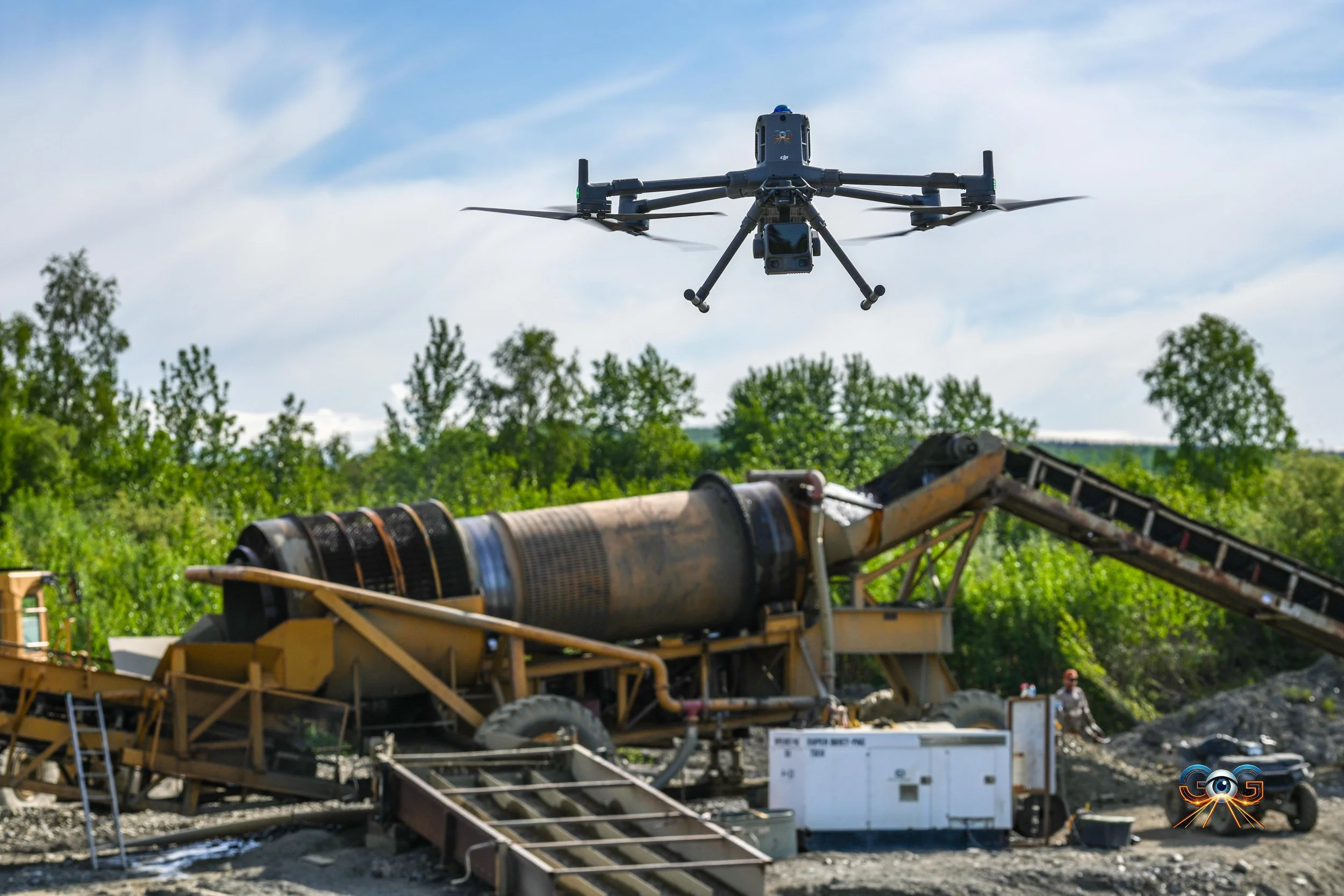
Stop guessing with exploration
Remove the trees, reveal the gold.
We take the guesswork out of gold exploration and mining. Flying sensors allows us to pinpoint exactly where to mine next. Digitally strip all vegetation to reveal ancient channels of gold.
Gold Exploration made easy
Imagine wiping the trees off the earth and seeing the bare ground beneath.Gold Exploration Intelligence Group uses advanced LiDAR mapping to reveal hidden terrain, expose historic paleo channels, and identify high-probability gold-bearing ground before operators waste time, fuel, and capital digging blind.
The days of guessing are over.
Dig with confidence. Explore with precision. Find the ground worth working.
Traditional placer exploration often depends on experience, old maps, test holes, trenching, and expensive heavy-equipment mobilization. A single test hole can cost thousands of dollars. A poor drilling pattern can burn through tens or hundreds of thousands of dollars before a team understands the ground.
Gold Exploration Intelligence Group changes the order of operations.

Superman had x-ray vision, but he never monetized it.
Digitally removing all vegetation makes gold exploration astronomically faster. Thanks to new state-of-the-art lidar and acquisition methodologies we can see beneath even the thickest vegetation. It’s like having X-ray vision, except you’re not fighting bad guys, you’re taking your decisions to the bank.
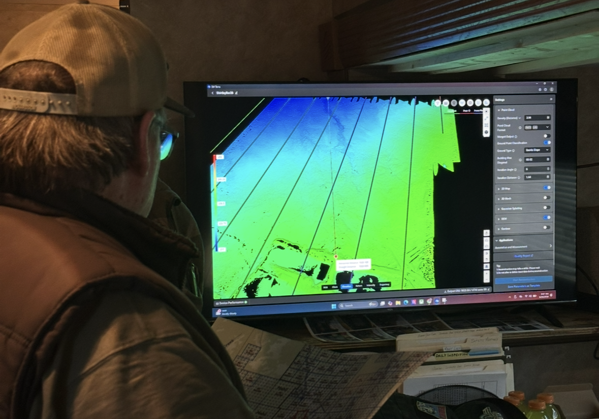
Working with Gold Exploration Intelligence group might not be what you’d expect… Our flight crews have had decision ready data within hours of showing up on site to mine. We arrive, we fly, we process and decide collectively. It’s time to trust pilots with experience finding the gold.
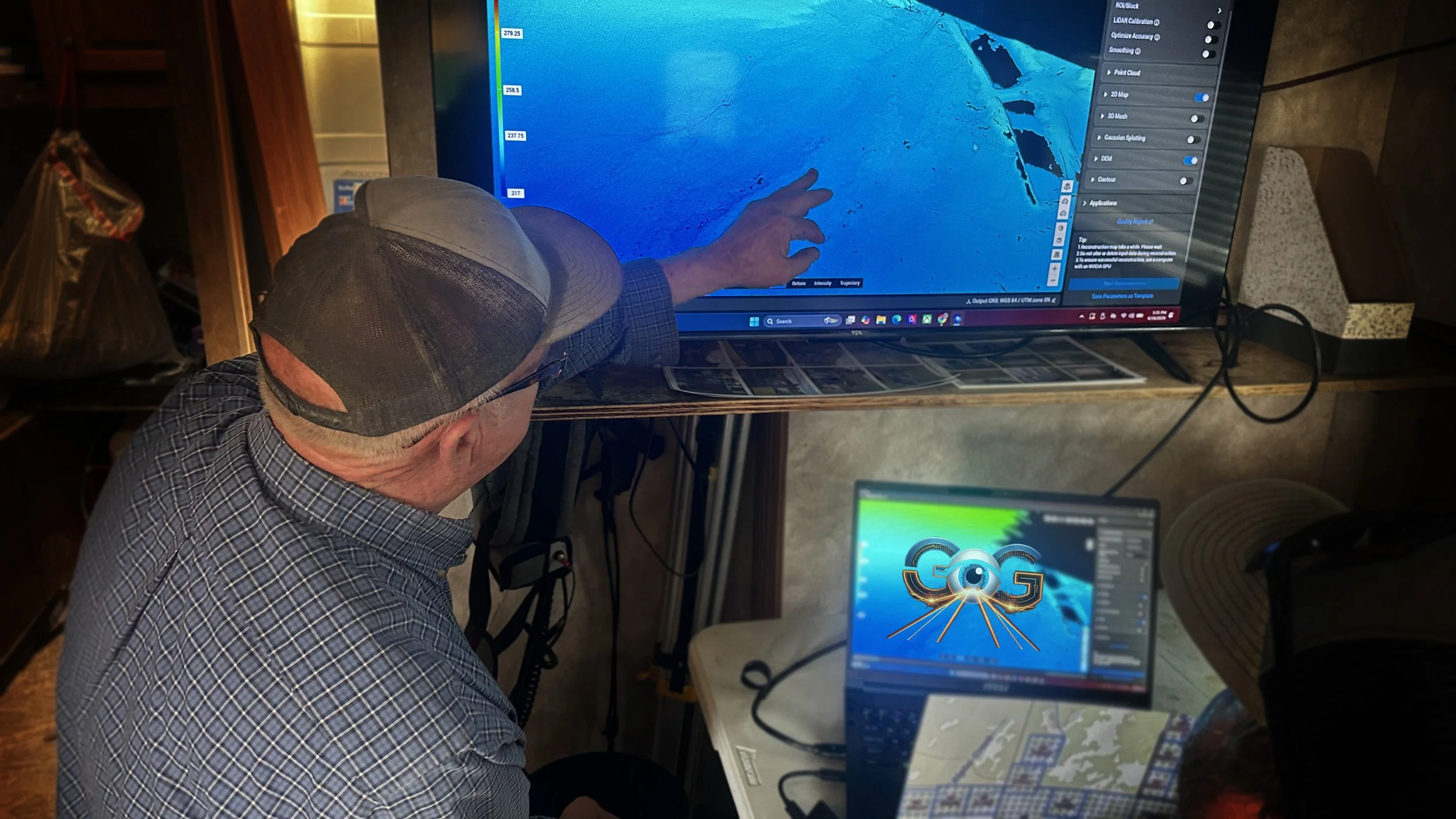
Strip the trees, reveal the gold.
We transform drone LiDAR and terrain data into practical mining intelligence. Our reports help you understand where ancient water may have moved, where historic mining already occurred, where access is realistic, and where your team should investigate first.
Before you dig, understand the ground.
01
We fly
02
We process on site.
03
We decide and leave you with the data.
“They proved what i had been thinking for a long time but had no data to prove it. Well we just verified the data and trenched the best hole we’ve ever had.”
— Quasar Gold Corp