

Mapping First. Digging Second.
Gold Exploration Intelligence Group was built to help miners, claim owners, investors, and exploration teams make smarter decisions before spending money on drilling, trenching, excavation, or heavy-equipment mobilization.
We use drone LiDAR, photogrammetry, bare-earth digital elevation models, geospatial analysis, and AI-assisted terrain interpretation to help identify paleo channels, ancient riverbeds, mined ground, potential virgin ground, access constraints, anomalies, and high-priority placer gold exploration targets.
LiDAR does not directly find gold. It reveals the terrain story that can help miners understand where gold may have traveled, settled, or been previously mined.
Our mission is simple:
Reduce guesswork. Prioritize better targets. Help miners understand the ground before they dig.
Our Experience
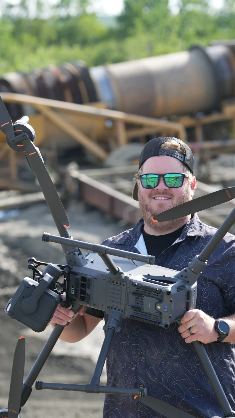
Gold Exploration Intelligence Group is built on more than 15 years of hands-on drone experience across mapping, close-proximity flight, aerial data collection, inspection, construction documentation, flight instruction, and enterprise drone program development.
Our team brings a combined 20+ years of experience in aviation, geospatial sciences, drone mapping, and unmanned aircraft operations.
We not just pilots, we are purely drone pilots.
That background includes:
Advanced drone mapping and photogrammetry
Drone LiDAR data collection and terrain modeling
Certified mapping instruction
Close-proximity drone flight in complex environments
Flight training and pilot development
Enterprise drone program consulting
Geospatial workflow development
Construction mapping, 3D modeling, and inspection
We handle very complex workflows, and we make it look easy, when frustration arises we simply adapt and overcome. When you work with GEIG (g-”eye”-g) you can expect the highest levels of professionalism and efficiency you would only find with highly experienced flight crews.

What We Do
Many companies can fly drones or produce maps. Gold Exploration Intelligence Group focuses on turning aerial data into exploration intelligence.
Our work helps clients understand:
Where paleo channels may exist
Where ancient riverbeds may have shifted
Where terrain suggests possible placer deposition
Where ground appears mined, disturbed, or reworked
Where potential virgin ground deserves more attention
Where access routes and equipment movement may affect cost
Where follow-up testing should be prioritized
Our deliverables may include drone LiDAR data, classified point clouds, bare-earth DEMs, hillshade maps, contour maps, orthomosaics, paleo channel interpretation, mined-ground classification, target-priority maps, access planning, and executive-ready gold claim intelligence reports.
Who We Serve
We support placer gold miners, Alaska gold operators, claim owners, exploration companies, investors, landowners, and field teams preparing to evaluate, trench, drill, or excavate a claim.
Whether a client is reviewing a remote Alaska property, trying to understand historic workings, evaluating potential paleo channels, or deciding where to test first, our role is to create clarity from terrain data.
The GEIG Difference
Gold Exploration Intelligence Group combines drone aviation expertise, certified mapping instruction, LiDAR collection, photogrammetry, geospatial science, close-proximity flight experience, enterprise drone program consulting, and practical field operations into one focused mission:
Help mining teams transform terrain data into better exploration decisions.
We do not promise gold. We provide intelligence.
And in gold mining, better intelligence can reduce wasted exploration, shorten timelines, limit unnecessary holes, and help teams dig with more confidence.
Company SummaryGold Exploration Intelligence Group is a drone LiDAR and exploration intelligence company helping gold miners, claim owners, exploration companies, and investors identify paleo channels, ancient riverbeds, mined ground, potential virgin ground, access constraints, and high-priority exploration targets before drilling, trenching, or excavation.
We reveal what’s hidden below the plants and trees.
Before you dig understand the ground
Let’s take flight to reveal what’s hidden below the trees.