

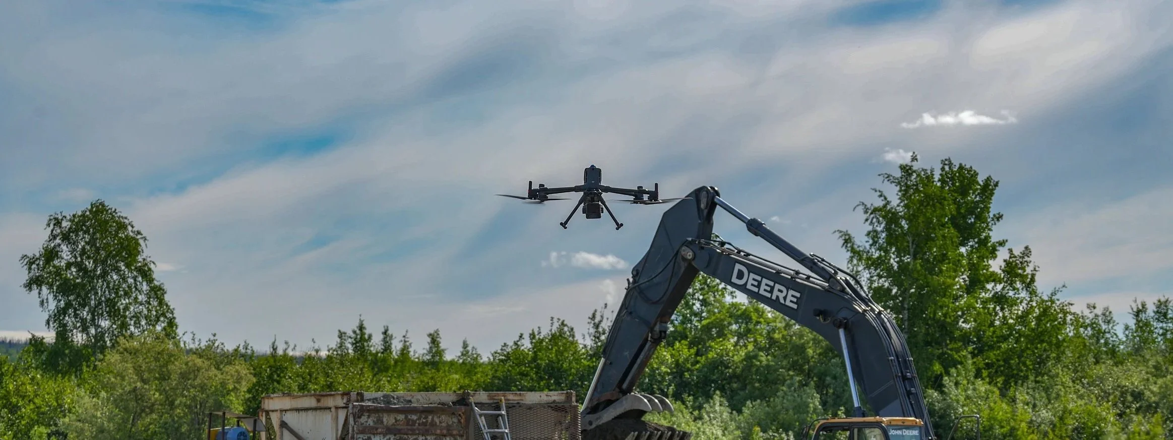
Strip the Trees, Reveal the gold.
We transform drone LiDAR and terrain data into practical mining intelligence. Our reports help you understand where ancient water may have moved, where historic mining already occurred, where access is realistic, and where your team should investigate first.
Our Process
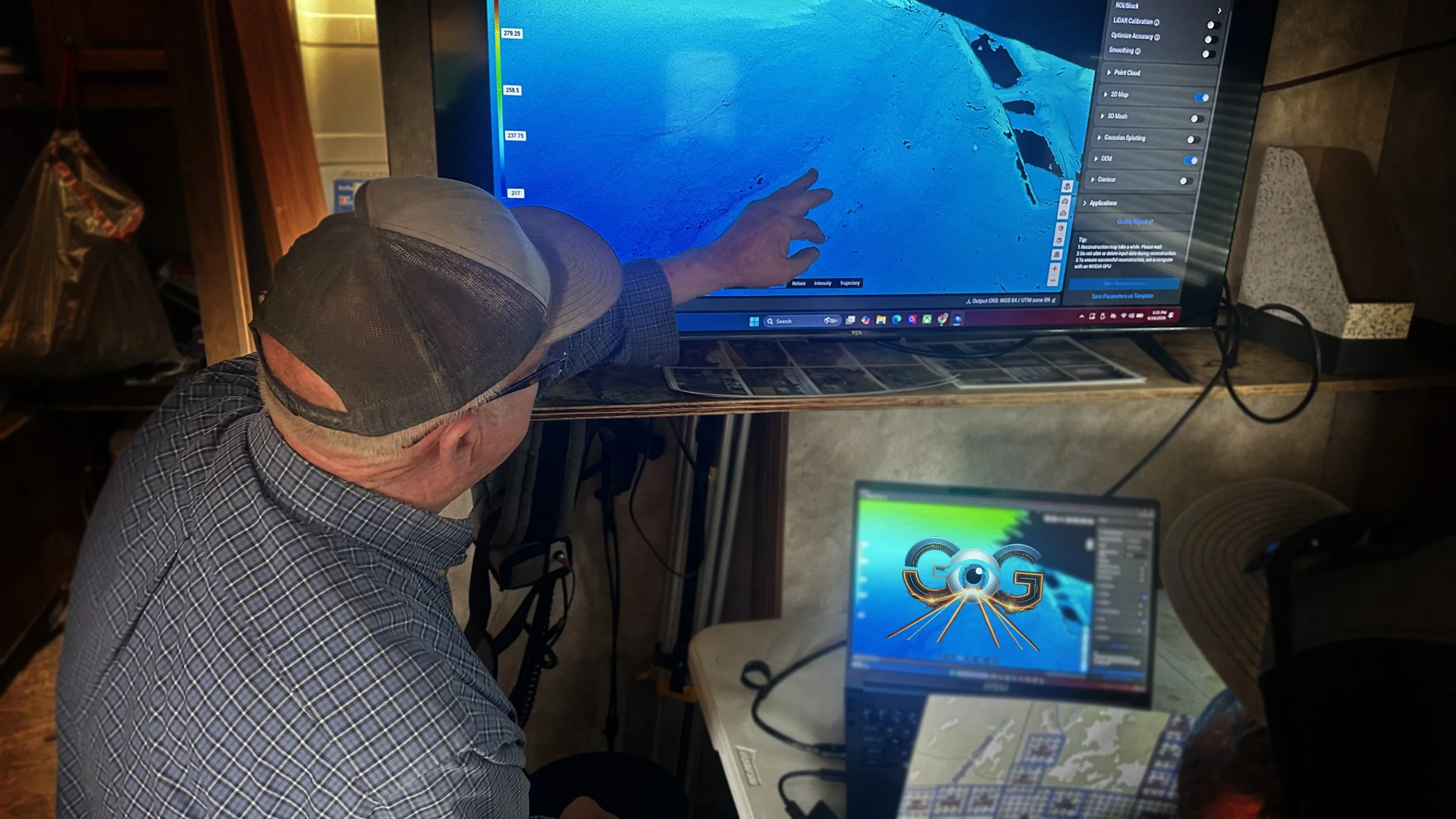
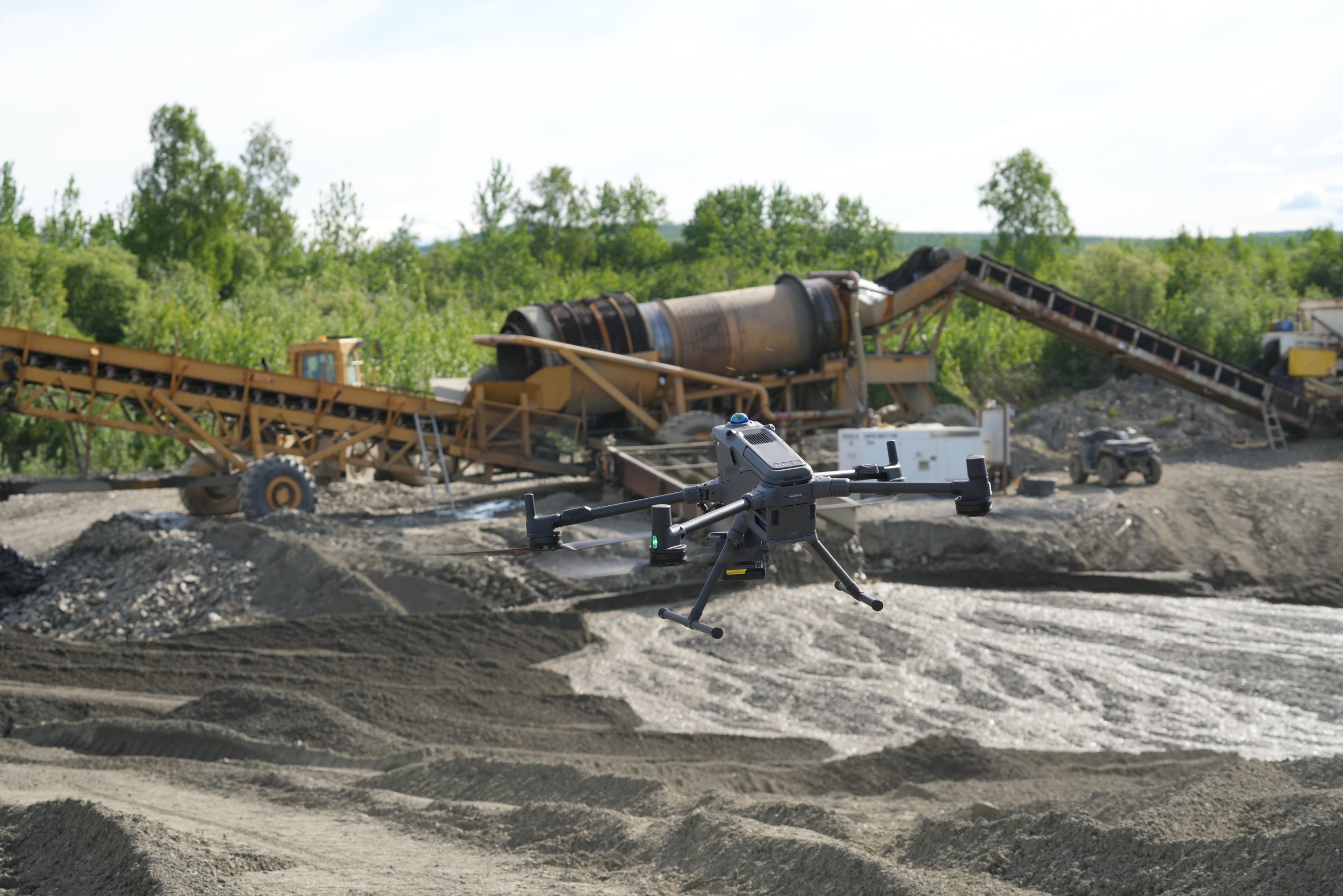
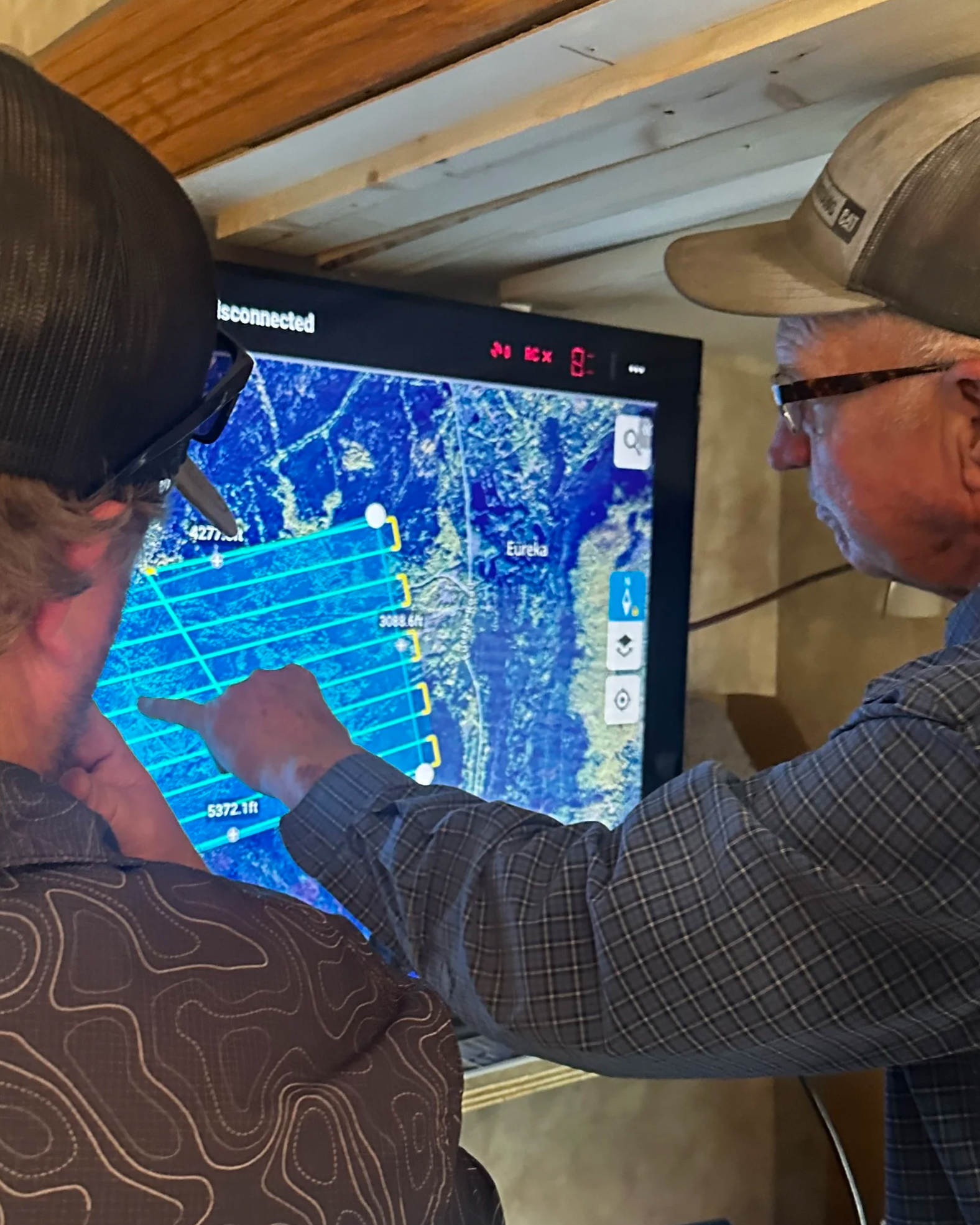
Upon arrival at the site our team will instantly begin executing our proprietary acquisition formulas to begin data capture.
Step 1 | Claim Review & Planning
Together, we meet and outline a path forward to review the existing mine and claims, areas of interest and new sites. We’ll deliver a proposal to showcase our plan moving forward.
Step 2 | We take flight!
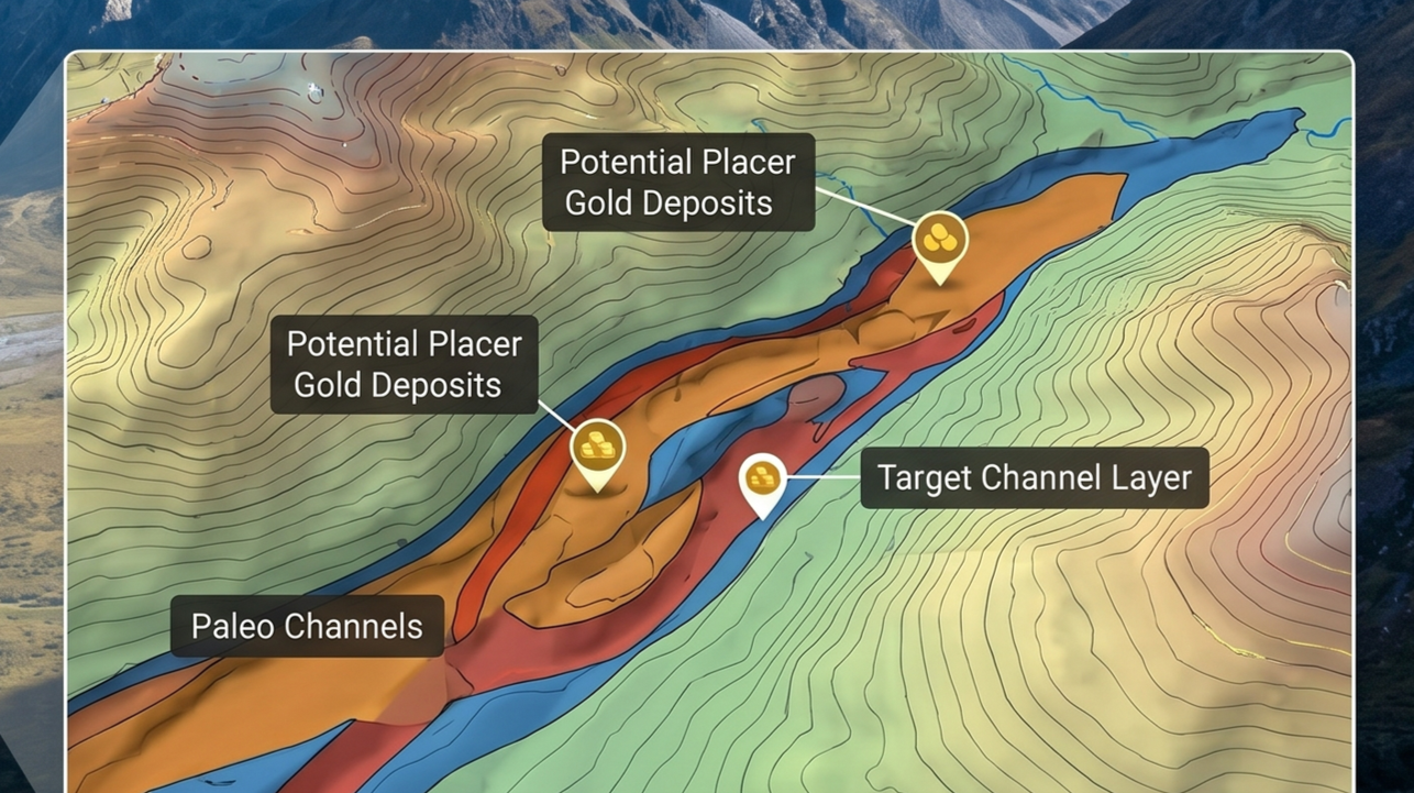
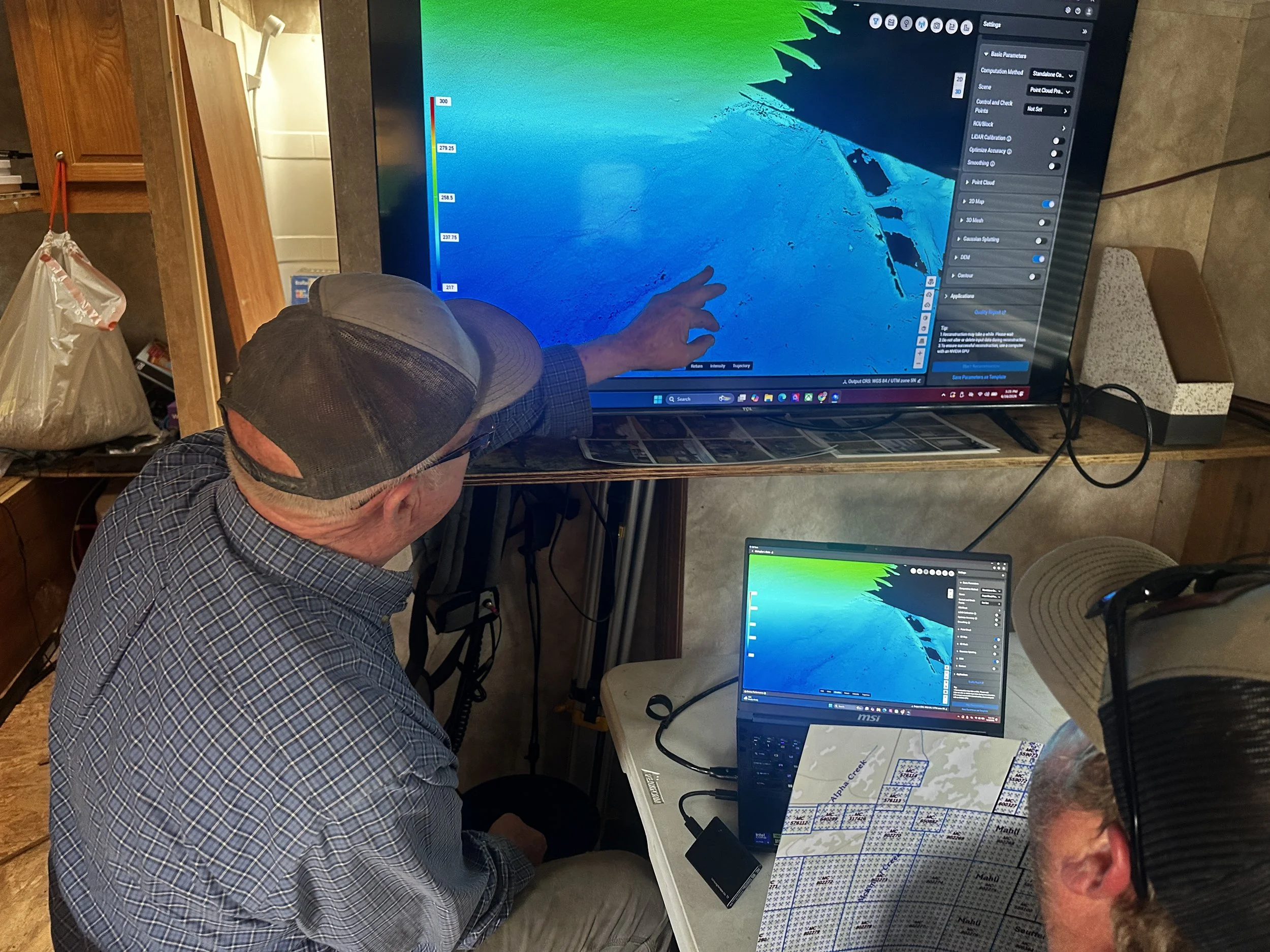
Paleo Channels and ancient riverbeds will show nicely either as simple photos, or receive all of the data pre-processed on laptop for them to take home or back to the mine.
Step 3 |. We process
When we deliver, it’s not just a finished product—it’s a solution you can trust, its intelligence on exactly where to mine.
Step 4 | Reserve and Report
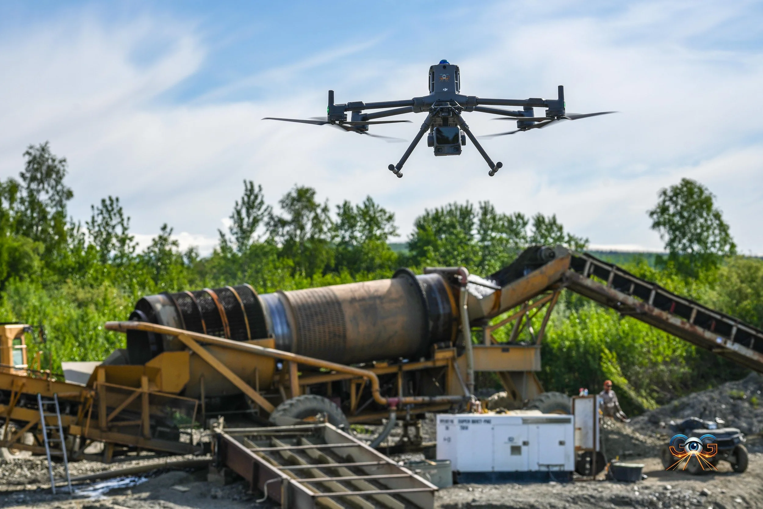
Gold Exploration Services
Tier 1 is a data collection.
Pure data collection to fly our vegetation penetrating lidar system at your gold mine. Client must process the data.
01
Tier 2 is an exploration insight service
GEIG will acquire and process the LiDAR data, then review the terrain model for potential paleo channels, historic riverbed features, mining indicators, terrain anomalies, and other findings relevant to gold exploration.
02
Tier 3 is a complete intelligence and field-deployment package.
This tier includes LiDAR acquisition, full processing, interpretation, deliverable creation, and a client-ready laptop loaded with the processed data and mapping software license. The client can take the laptop into the field, review the property, navigate target areas, and continue using the data independently.
03
Gold Exploration Service Tiers
Tier 1
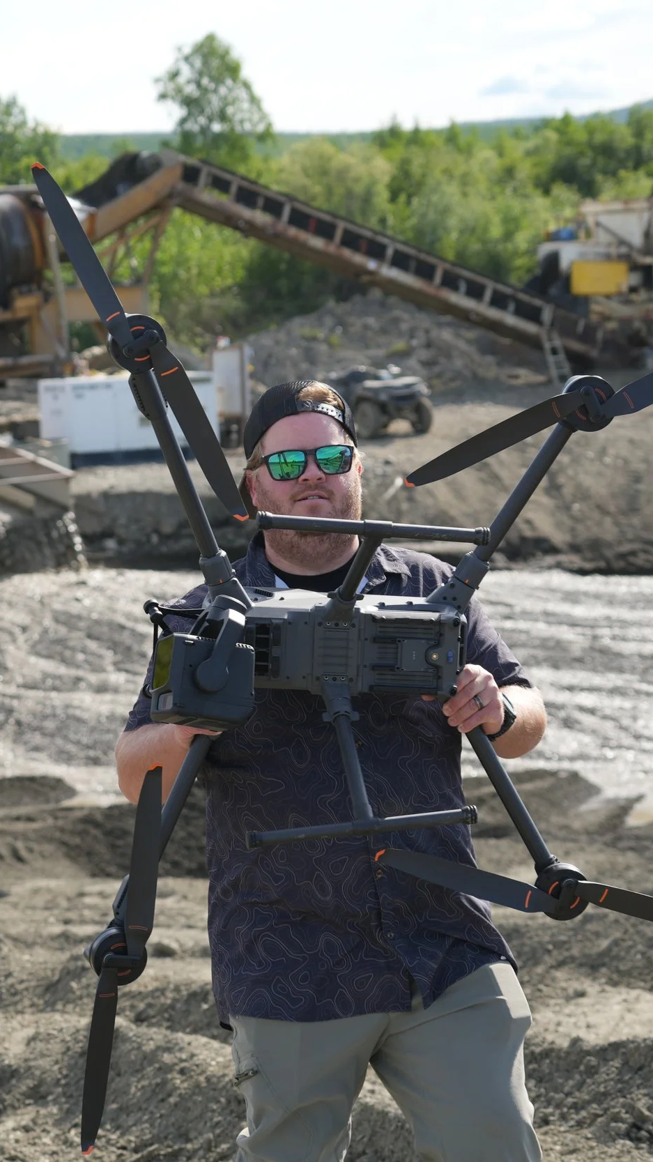
This tier is designed for clients who only need the raw LiDAR data collected over their property or claim area.
This option includes field acquisition of LiDAR data over the designated acreage. It does not include data processing, interpretation, paleo-channel analysis, map products, GPS coordinates, screenshots, or reporting. This tier is best suited for clients who already have their own GIS, geology, or technical team capable of processing and interpreting the data independently.
Includes:
LiDAR data acquisition
Field mapping over designated acreage
Raw data handoff
Does not include:
LiDAR processing
Paleo-channel interpretation
GPS coordinate delivery
Map screenshots
Reports
Software or laptop delivery
Minimum project size: 200 acres
Tier 2
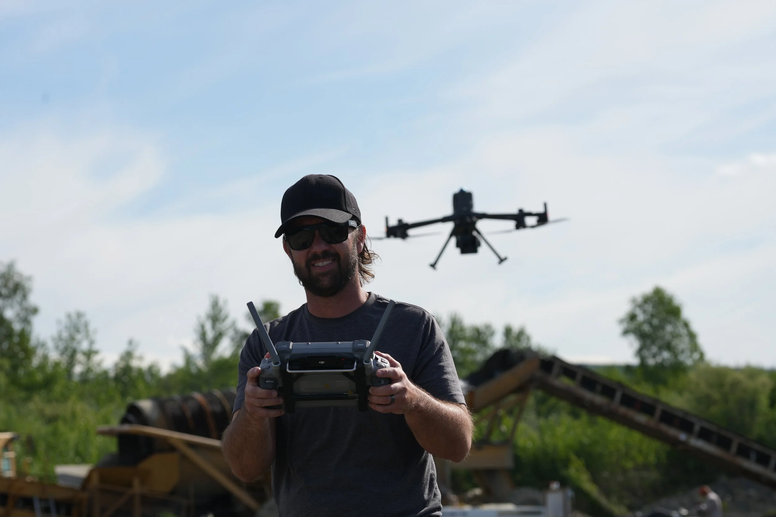
This tier is designed for clients who want GEIG to not only collect the LiDAR data, but also process and interpret the results for exploration value.
GEIG will acquire and process the LiDAR data, then review the terrain model for potential paleo channels, historic riverbed features, mining indicators, terrain anomalies, and other findings relevant to gold exploration.
Deliverables include processed map products, visual screenshots, GPS links, and location references to help the client understand where potential target areas are located.
Includes:
LiDAR data acquisition
LiDAR data processing
Terrain review and interpretation
Identification of potential paleo channels and key exploration features
GPS links for highlighted findings
Screenshot-based delivery of maps and locations
Client review of major findings
Does not include:
Dedicated laptop delivery
Permanent mapping software license
Full onboard data workstation
Comprehensive written report package
Minimum project size: 200 acres
Tier 3
This is GEIG’s premium exploration intelligence package. It is designed for clients who want a complete, field-ready deliverable that can be used long after the mapping team leaves the site.
This tier includes LiDAR acquisition, full processing, interpretation, deliverable creation, and a client-ready laptop loaded with the processed data and mapping software license. The client can take the laptop into the field, review the property, navigate target areas, and continue using the data independently.
This tier also includes a written report identifying paleo channels and relevant exploration findings, including GPS coordinates for each mapped target area.
Includes:
LiDAR data acquisition
Full LiDAR data processing
Processed deliverables loaded onto a client-provided or GEIG-provided laptop
Mapping software license included on the laptop
Field-ready data package
Paleo-channel identification
GPS coordinates for all identified paleo channels
Report of findings
Screenshots and map references
Client review and handoff session
Best for:
Mine owners
Claim holders
Exploration companies
Gold operators who need field-ready targets
Investors evaluating a property
Teams without in-house GIS or LiDAR interpretation staff
Minimum project size: 200 acres
Optional: Bedrock Depth Mapping to showcase gold density
Frequently Asked Questions
-
LiDAR does not directly detect gold. It helps identify terrain features associated with placer gold deposition, such as paleo channels, ancient riverbeds, benches, terraces, drainage shifts, and old mining disturbances.
-
A paleo channel is an ancient riverbed or former drainage path. In placer gold exploration, paleo channels are important because they may contain concentrated placer gold deposits.
-
Drone LiDAR helps miners understand the terrain before committing to expensive drilling, trenching, or excavation. It can reduce guesswork by identifying higher-priority target areas
-
Depends on which tier, albeit a gold claim intelligence report may include LiDAR maps, bare-earth Digital elevation models, contours, orthomosaics, paleo channel interpretation, mined-ground classification, access planning, target ranking, and recommended next steps.
-
Yes. Gold Exploration Intelligence Group supports Alaska gold exploration and remote placer mining claims, including drone LiDAR mapping, bare-earth terrain analysis, and paleo channel interpretation.
-
Yes, outside of Alaska, our secondary exploration operations have been in Western US (lower 48).
-
Getting started is simple. Reach out through our contact form or schedule a call—we’ll walk you through the next steps and answer any questions along the way.
-
We combine a thoughtful, human-centered approach with clear communication and reliable results. It’s not just what we do—it’s how we do it that sets us apart. We ensure there are no expectation gaps.
-
You can reach us anytime via our contact page or email. We aim to respond quickly—usually within one business day.
-
We offer flexible pricing based on project type, complexity and which tier was selected. We do have a minimum project size of 200 acres and a small mobilization fee. After an initial conversation, we’ll provide a transparent quote with no hidden costs.
-
Collaborative, honest, and straightforward. We're here to guide the process, bring ideas to the table, and keep things moving.